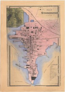
The Maps and Charts Collection at Mystic Seaport includes charts showing tracks of whaling vessels and passenger and cargo ships, including voyages around Cape Horn, navigational charts, charts indicating oyster grounds and their ownership, Connecticut city, county, and topographical maps.